Met Office gives strong indication of heatwave in London in September

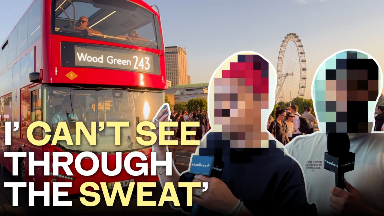

London could be in line for another heatwave in September, as the capital continues to endure an exceptionally hot and dry summer.
It has been months since the capital has experienced any heavy rainfall, with only scattered showers providing limited relief for Londoners as the drought continues.
While temperatures are expected to fall this week to around 21C to 23C, forecasters have suggested another spell of hot weather could develop towards the end of the summer.
According to the long-range forecast for August 30 to September 13, “there is a chance that late-season hot spells or heatwaves develop, especially in the south”.
London has already seen five heatwaves this summer, with 2026 becoming the first year on record in which temperatures in the capital reached 35C or higher across three different calendar months — May, June and July.
The latest heatwave peaked on Thursday, when temperatures climbed to 38.1C at Kew Gardens in west London, making it the hottest day of the year so far.
Before any potential return of extreme heat, however, a significant change in the weather is expected this week.
Parts of the UK could face heavy rain and a risk of flooding as downpours hit hard, drought-stricken ground.
The unsettled conditions come as another water company announces a hosepipe ban amid continuing concerns over water supplies.
Some areas could receive their “first meaningful rain for a long time”, according to the Met Office, following weeks of heatwaves and exceptionally dry weather.
A band of rain is expected to move south from Northern Ireland and Scotland on Monday before reaching parts of England and Wales, bringing a wetter and cooler spell with temperatures much closer to the seasonal average, the Met Office has said.
Liz Stephens, professor in climate risks and resilience at the University of Reading, said the south-east of England will take many weeks of sustained rainfall for vegetation to recover and rivers and reservoirs to return to normal following the drought.
She said: “Here in the South East, we’re still a month’s worth of rain below what we would normally expect by this point in the year, despite the heavy rainfall in January and February.
“As a result, while any rain which falls this week may help reduce the immediate wildfire risk, it will take many weeks of sustained rainfall for vegetation to recover and our rivers and reservoirs to return to normal.
“This means that we should expect hosepipe bans to be in place for some time.
“Floods can still occur during drought conditions and surface water flooding can even become more likely as baked soils are unable to soak up rainwater as quickly.”